Northwest Ontario is a freshwater paradise. Rivers, streams, and lakes of all shapes and sizes cover the landscape. But what happens when all that water comes crashing downriver toward the region’s biggest city—Thunder Bay? The Lakehead Region Conservation Authority (LRCA) is designed to responsibly manage the water, land, and natural habitats of the Lakehead Watershed, all the rivers of which are tributaries of Lake Superior. Here’s how LRCA is providing a healthy, safe and sustainable Lakehead Watershed for future generations.
LRCA is one of 36 conservation authorities in Ontario, and is the farthest north and west of the bunch. In fact, 95 percent of Ontario’s population lives in a watershed managed by a conservation authority. The idea for such organizations was born in Ontario itself. Conservation Authorities began to be established by municipalities and the province in the 1940s in response to severe flooding and erosion problems in Ontario. Today they conduct watershed management, erosion control, flood forecasting and warning, recreation, water level monitoring, plan review, natural hazard permitting, environmental education, and stewardship.
Ryan Mackett, the LRCA’s communication manager since 2011, hadn’t been on the job even a year when the Thunder Bay flood disaster of May 28, 2012, occurred. “We had had several days of sustained precipitation, nothing major, but enough. The ground was saturated. The water table was high. All of the wetlands were already saturated. A sponge, right? So, we’re already at capacity, and then there was a massive extreme rainfall event on top of that.”
Mackett recalls the “drop everything” atmosphere that morning: “When we have a major flood event, we’re responsible for issuing flood messages. That’s the main role of the Conservation Authority. We get flood messages out to our member municipalities, so they can start initiating their emergency response programs. Everything else stops.”
Fortunately, LRCA and the City of Thunder Bay had taken action long ago to deal with such a flood disaster. The Neebing-McIntyre Floodway was completed in 1984 by LRCA with a final cost of $15 million. The floodway was constructed to address flooding in the lower Neebing River and Intercity area of Thunder Bay. During flood events, a diversion structure limits flows down the lower Neebing River, and instead diverts excess flows into a 1.5 km diversion channel. This channel directs excess flows to the widened, deepened Neebing-McIntyre Floodway to Lake Superior.
The Intercity area had previously experienced major flood damage in 1968, 1971, and 1977. Not anymore. While there was still major damage in Thunder Bay in the 2012 storm, it was due to stormwater drains overflowing, not riverine flooding.
But life isn’t all disasters. What does LRCA do during nature’s calmer periods? “I always say that the Conservation Authority has two sides to a coin,” explains Mackett. “There’s the lawyerly, regulatory side of things, which is your flood forecasting, your development regs, and your plan input. Then the flip side of that coin is the recreational and educational piece of our water management.”
The small but hardworking team of 15 full-time staff, as well as additional summer staff at LRCA, ensure that landowners are properly permitting construction projects in flood zones, and that real estate agents and homebuyers are aware of potential hazards through the LRCA’s mapping tool. Landowners can use this mapping tool to gain an understanding of their property, and identify potential hazards or regulated areas. If people’s property is within a regulated area, they will require a permit from LRCA for any proposed development.
Mackett recounts the 2024 results of LRCA’s Regulations Department: “We provided 145 commenting sessions as part of development planning input, so 145 requests came through to us for new municipal planning. We issued 967 property maps to people looking for information about their properties. We had 361 inquiries about personal properties, so 361 people were looking to see whether they needed a permit to do new buildings or not. Out of those, we issued 92 permits, so only 92 property owners actually needed a permit.”
LRCA conducts permitting for things like construction, addition, placement or removal of fill and site grading, alteration to shorelines and watercourses, and infrastructure and water crossings.
Another one of LRCA’s major conservation contributions is as a landowner itself. LRCA owns and pays property taxes on many properties throughout the City of Thunder Bay and other member municipalities. Why?
“Certain properties are known to be flood prone, or potentially hazard lands, or provincially significant wetlands. If those are taken off the market completely, then we don’t have to worry about any development issues or potential flooding conflicts,” Mackett explains.
Mackett also likes to point out that LRCA is not in charge of rivers. “Because we’re an environmental organization, and because we have properties around town, we’ll regularly get calls about random things. People will call us and say ‘Well, aren’t you guys in charge of the rivers?’ We have to just politely say, ‘I’m sorry, we don’t manage beavers.’”
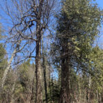
So, what about LRCA’s flip side, recreation and education? LRCA proudly offers the community 10 Conservation Areas for semi-passive recreational use, access to Lake Superior, and other activities such as birding, photography, hiking, and more. These Conservation Areas are open to the public, and charge a small fee for parking. They’re day-use only.
Mackett notes the “showstopper qualities” of these public areas. “They’re all unique and they all have their own hidden features and attractions. Everybody knows the big ones, like Cascades, and Mission Island Marsh. Those are the two biggest, most visited areas. But then we have some hidden gems, too.”
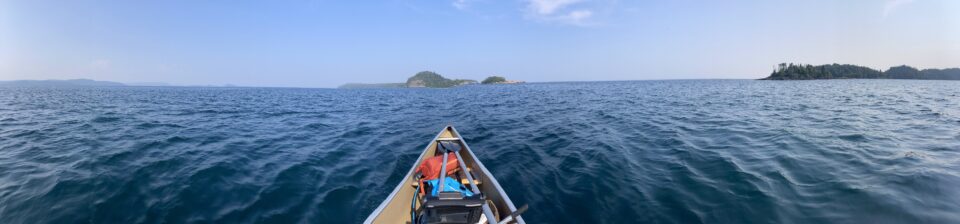
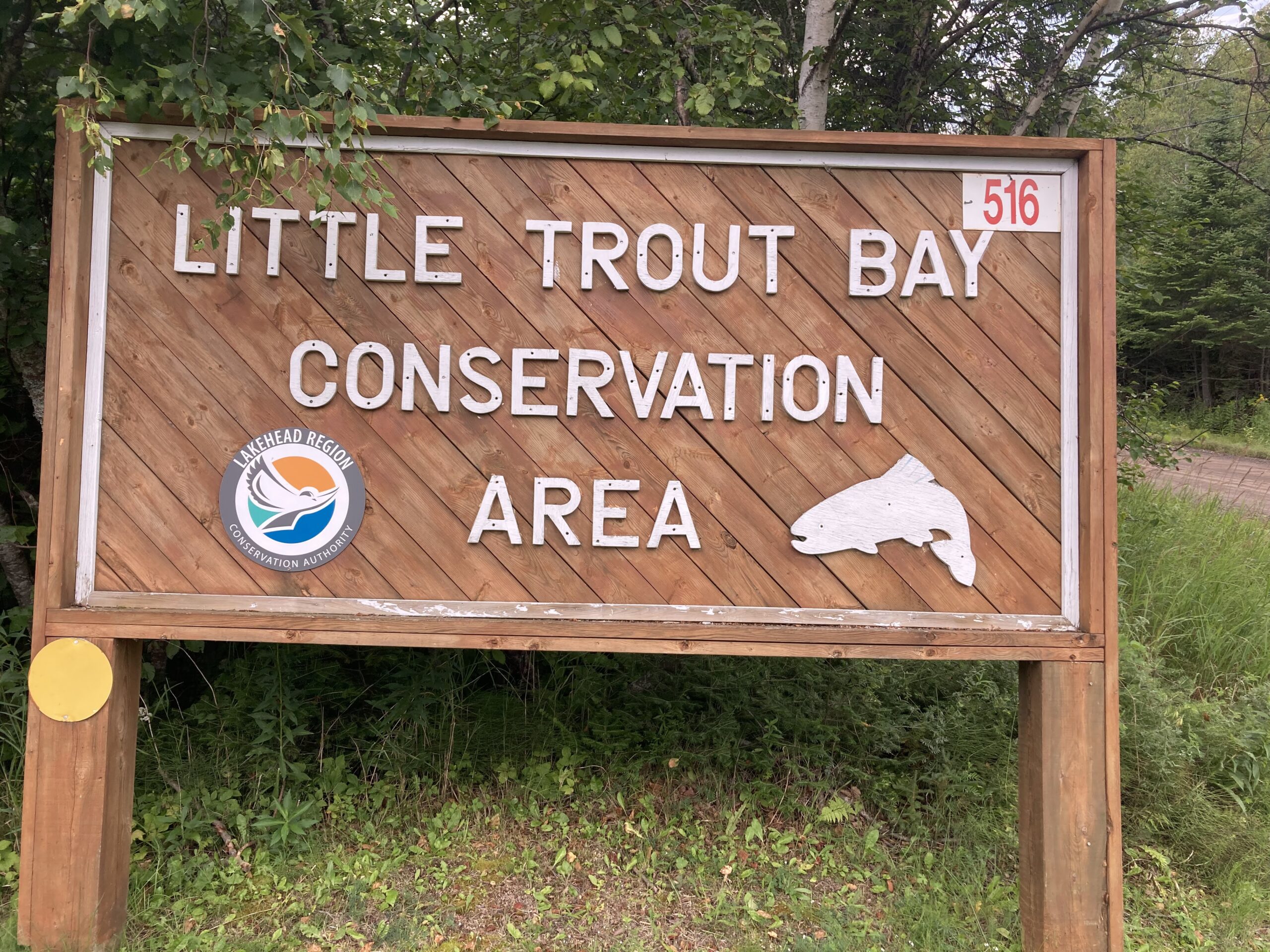
Like Little Trout Bay, close to the U.S. border, where there’s a public boat launch on Lake Superior, and great fishing for trout and salmon. LRCA hosted the inaugural Little Trout Bay Fishing Derby together with the Municipality of Neebing in August 2024, and anglers can look forward to the event’s second iteration in late August of this year.
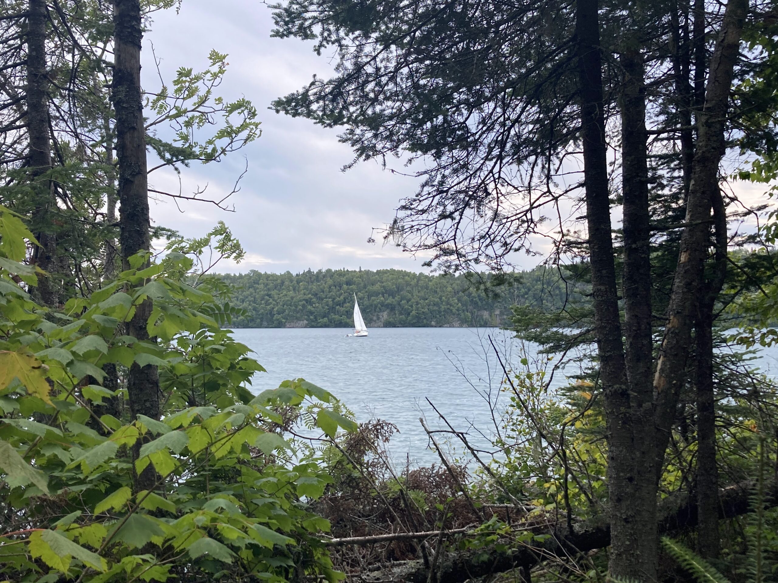
Another gem is Hurkett Cove Conservation Area, also on Lake Superior, in Dorion Township. “Hurkett Cove is a naturalist’s paradise, especially this time of year, because we’re getting into spring bird migration season. Sleeping Giant Peninsula acts as a natural funnel for migratory birds coming across Lake Superior, and so for a lot of birds, their first landing point is going to be around Hurkett Cove,” Mackett explains.
Lakehead Region Conservation Authority’s area of jurisdiction encompasses 2,719 square kilometers of the Lakehead Watershed. All rivers and tributaries within the Lakehead Watershed flow into Lake Superior. Therefore, the LRCA plays a key role in administering watershed management programs to help ensure the health of the region and its water. Go check out LRCA’s Conservation Areas and see how healthy water contributes to high quality of life.