Do you prefer placid beaches or rugged hikes? Quaint towns or quiet forests? In the Northern Wilds, you don’t have to choose–you really can have it all. This incredible region is home to several scenic drives that take travelers right by some of the region’s best gems. So, this summer, buckle in and take some time to explore the best of the Northland.
Skyline Parkway
Crowning the city of Duluth is Skyline Parkway, a 28-mile road that offers travelers a birds-eye view of the city, Duluth Harbor and Lake Superior. The first section of what would someday become Skyline Parkway was built in 1889, an idea launched by Duluth’s first park board president, William Rogers. Different sections of the road would be completed over the next 40 years, and the entire road was officially named Skyline Parkway in 1929. In 2001, Skyline Parkway was designated a scenic byway and it is still drawing visitors over 130 years since its inception.
The western end of Skyline Parkway starts at Becks Road, and the parkway continues through sites such as the Magney-Snively Natural Area, Spirit Mountain Recreation Area, Enger Park, and the Hawk Ridge Nature Reserve before reaching its eastern terminus at Brighton Beach. Many of these attractions offer the opportunity to enjoy nature even while in the city: the Magney-Snively Natural Area offers hiking trails and Hawk Ridge also offers hiking trails in addition to birdwatching. Some stops that boast great views include Bardon’s Peak, the Thompson Hill Information Center, and the tower at Enger Park.
And of course, no trip to Duluth is complete without some quality time by Lake Superior. Finish the journey at Brighton Beach for a chance to explore the rocky shoreline and listen to the waves. More information on the byway and nearby stops can be found at: duluthmn.gov.
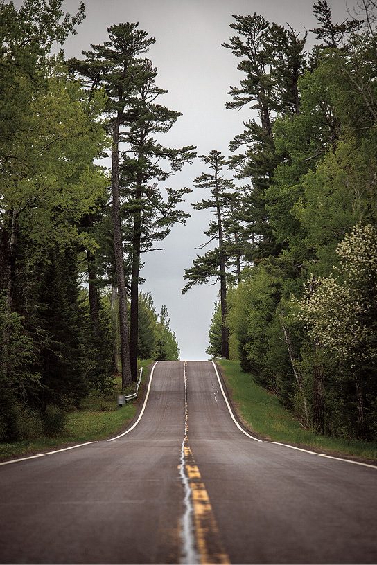
Wisconsin Lake Superior Scenic Byway
On the South Shore, the Wisconsin Lake Superior Scenic Byway runs for 70 miles along the Bayfield Peninsula, following Highway 13 from the intersection of County Highway H in Douglas County to US Highway 2 in Bayfield County near the city of Ashland. The byway was dedicated in 2013 and offers travelers some of the best of the South Shore, including Lake Superior views, sandy beaches and orchards that are a hallmark of this region.
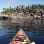
Several hiking trails of varying difficulty are easily accessible from the byway, including trails at the Northern Great Lakes Visitor Center near Ashland, the Washburn Lakefront Walking Trail, the Mt. Ashwabay Recreation Area, and many others. Another draw to the area is the Apostle Island National Lakeshore: the islands offer ample opportunities for hiking as well as kayaking, boat tours and sailing. The Apostle Islands are also home to a collection of historic lighthouses, which historian F. Ross Holland Jr. called, “the largest and finest single collection of lighthouses in the country.” The oldest of the lighthouses date back over 160 years.
For a full list of hiking trails and other activities on the Wisconsin Lake Superior Scenic Byway, visit: lakesuperiorbyway.org.
North Shore Scenic Drive
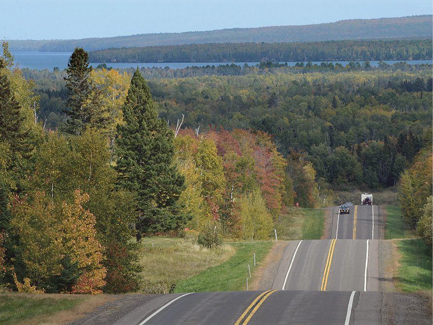
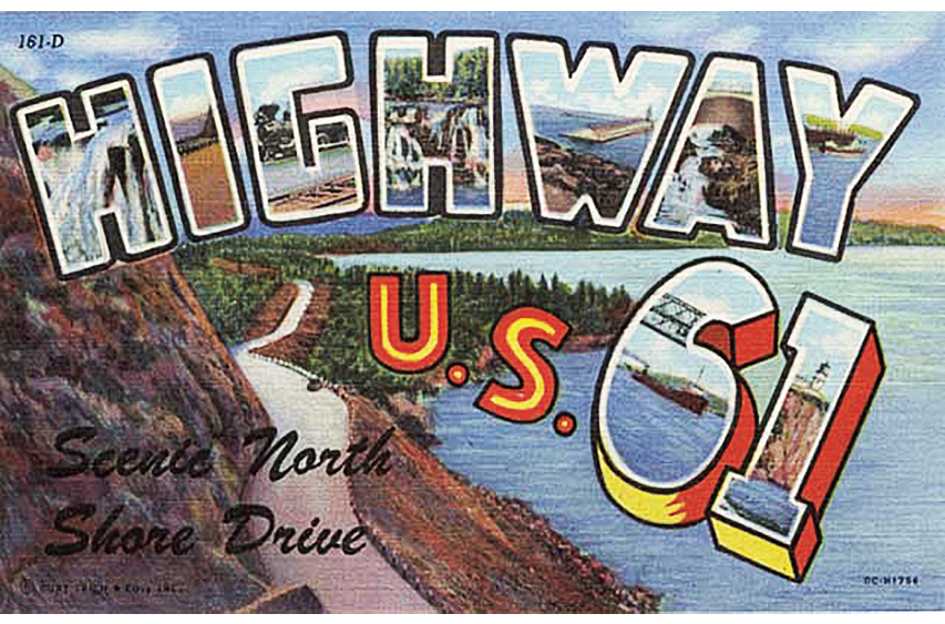
The North Shore Scenic Drive, Minnesota’s Highway 61, runs from Duluth’s Canal Park to the Canadian Border crossing at Pigeon River. Its proximity to Lake Superior was by design, and it has been a draw for road-tripping travelers for almost 100 years. Formerly a part of US Route 61, the highway became Minnesota Highway 61 in 1991, and was first designated an All-American road in 2000. The North Shore Scenic Drive is also part of the Lake Superior Circle Tour, a series of road that travels all the way around Lake Superior, passing through Minnesota, Ontario, Michigan and Wisconsin.
The North Shore Scenic Drive offers beautiful forests, lake views and recreation opportunities. The North Shore is home to eight state parks, some of which have parking right off the highway and have lakeshore access. The Superior Hiking Trail follows the ridgelines above Lake Superior over much of the North Shore, with many trailheads located a few minutes’ drive from the highway and offering sweeping views of the lake and the Sawtooth Mountains.
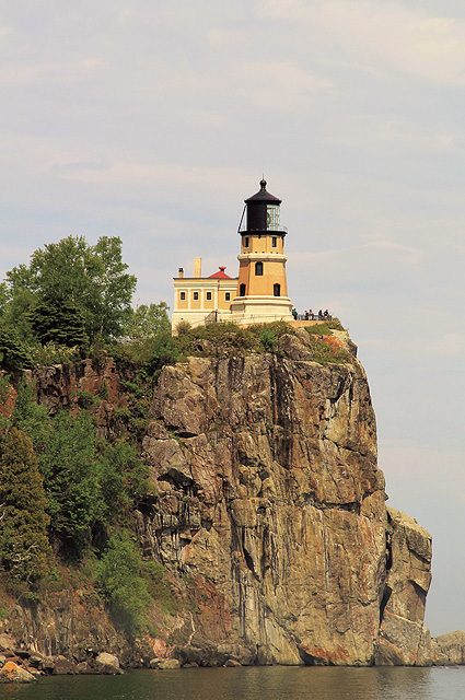
Along the way, stop by the cities and towns dotting the North Shore to explore local restaurants, art galleries and shops. Walk the breakwaters in Two Harbors and Grand Marais, and learn about the region’s history at Split Rock Lighthouse and the Grand Portage National Monument. For more about the North Shore Scenic Drive, visit: exploreminnesota.com.
Superior National Forest Scenic Byway
Winding 78 miles through northern Minnesota’s forests, the Superior National Forest Scenic Byway connects the North Shore with the Iron Range. The route consists of county roads and state highways and was designated as a scenic byway in 1999. The western terminus of the byway is, Gilbert, Minnesota in St. Louis County, while on the eastern end the byway ends at Highway 61 in Silver Bay.
As you probably guessed from the name, the main draw of the Superior National Forest Scenic Byway is the forest—the scenic byway cuts deep into the heart of the Superior National Forest, and there are no towns between Hoyt Lakes and Silver Bay. (So, make sure you have plenty of gas!) This route is a favorite for fall color spotting, but it also offers travelers a taste of the quiet northwoods any time of year.
Some stops along the way include the Bird Lake Recreation Area, which has a 12-mile hiking and skiing trail and access to Bird Lake. Cadotte Lake has a public beach and picnic area located within the Cadotte Lake Campground, which also has a boat launch. And for a taste of history, stop by the Toimi School, a historic schoolhouse established by Finnish immigrants and built in 1913. More information on the byway can be found at exploreminnesota.com or the U.S. Forest Service website: fs.usda.gov.
Gunflint Trail
The Gunflint Trail winds 57 miles from Grand Marais all the way to Saganaga Lake on the U.S.-Canadian border. The Gunflint Trail—also known as County Road 12—follows the route of an old footpath and has long been a favorite of canoeists heading toward the Gunflint region’s many lakes, including those within the Boundary Waters Canoe Area Wilderness. Time seems to slow down on the Gunflint Trail, and with much of the road out of reach of cell service, you truly feel away from it all.
The Gunflint Trail is home to a wealth of summer activities. Explore trails such as the Magnetic Rock Trail or Centennial Trail while looking for wild blueberries, and learn about local history and wildlife at Chik-Wauk Museum and Nature Center.
The Gunflint Trail is home to several historic lodges, many of which offer a place to stop and a bite to eat along the way. You can also check with local lodges and outfitters for canoe rentals to explore the region’s pristine lakes. And if you’re spending the night, don’t forget to look up and enjoy the stars in some of our country’s darkest skies.
For more information on traveling the Gunflint Trail, visit: visitcookcounty.com.