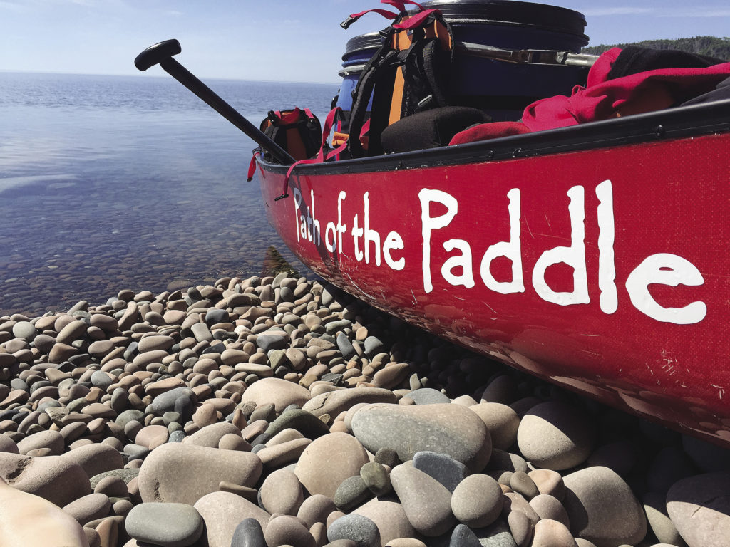
Ontario—On August 26, communities across the country are invited to explore the Trans Canada Trail. Twenty-five years in the making, 24,000 km of hiking, biking and paddling trails will be connected and local sections of the trail will be celebrating.
The communities of Thunder Bay, Atikokan, Dryden and Kenora are inviting you to explore along the local Path of
the Paddle water trails that connect the Trans Canada Trail in Northwestern Ontario (NWO).
The creation of the Trans Canada Trail was initiated in 1992 with the 125th anniversary of Canadian Confederation. Twenty-five years later, a network of community groups have planned and developed trails to create one of the world’s longest network of recreational trails.
The Path of the Paddle Association, a volunteer-driven not-for-profit, is tasked with completing the Trans Canada Trail from Thunder Bay to Manitoba.
The Path of the Paddle water trail spans from the Great Lakes to the edge of the prairies and includes the world’s largest inland sea, historic waterways that have been traversed by canoe for thousands of years.
With six Path of the Paddle trails joining the communities in NWO, there are many opportunities to celebrate the opening of the water trail.
In Kenora, the Iinoo Oowan (canoe trail) Trail, travels 170 km east from the Whiteshell Provincial Park and TCT land trail (Borders to Beaches) on the Manitoba border following the Winnipeg River.
East of Kenora, Rushing River Provincial Park provides the gateway to Dryden through the Experimental Lakes area on the 199 km Migizi (bald eagle) Trail.
The 160 km Maukinak (turtle) Trail travels south from Dryden to the Turtle River-White Otter Lake Provincial Park and on to Atikokan, joining with the 208 km Quetico Trail.
At the south end of Quetico Park, the Omimi (pigeon) Trail travels 100 km through La Verendrye Provincial Park to the Pigeon River Provincial Park in the east and provides access from the world renowned Boundary Waters Canoe Area Wilderness (BWCAW).
Along the U.S.-Canada border, the 100 km Omimi Trail is a unique and special part of the Trans Canada Trail. Following the rivers and lakes that straddle the international border, the trail lies within La Verendrye Provincial Park on the Canadian side and the BWCAW on the American side. The Omimi Trail joins Lake Superior’s Animikii Trail with the Quetico Trail.
Traveling north along the spectacular Lake Superior coastline the 136 km Animikii (thunder bird) Trail links the Path of the Paddle to the Thunder Bay hiking trail at Fort William Historical Park on the Kaministiquia River.
Regional Trail Committees of the Path of the Paddle Association will promote a day of travel on the water trail on August 26. Trail explorers are challenged to submit photos and stories of their day on the trail and receive a memento of the day.
For more information on activities in Thunder Bay, Atikokan, Dryden and Kenora, check out: pathofthepaddleassociation.com.

