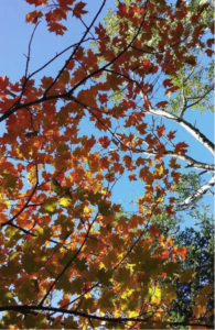
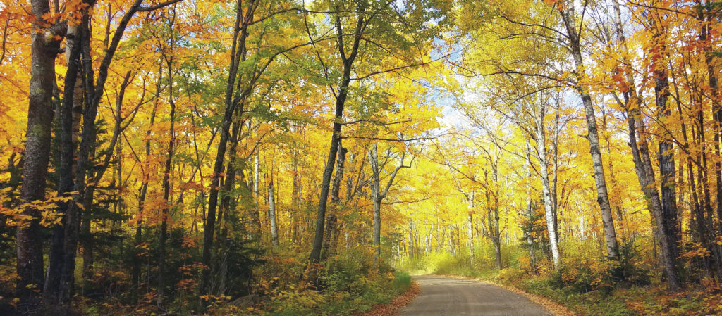
While the words chlorophyll, carotenoids, anthocyanins, and tannins conjure distant memories of a biology course for many people, these biochemicals are crucial to the phenomenon that draws so many to the woods in the fall. Poets, recreationalists, photographers, artists, sightseers; all find overwhelming beauty in the biological process of the changing of seasons. The combination of reds, yellows, greens and oranges provide reason enough to put the car in drive and take a journey to a few spots on this side of Lake Superior.
Our fall color drive will take us through historical sections of Duluth to a loop around Lutsen, on the gravel back roads of Cook County, and across an international border to a popular provincial park in Ontario. The fleeting fall in the region increases our leaf looking haste and quest for scientific knowledge on our drive in late September through mid-October.
The southernmost point in our journey begins in Duluth as we head west on the popular Skyline Drive. The hardwood forest below, which, according to the Superior National Forest Naturalist Notes, “stretches from here to the east coast” is undergoing a change that affects the atmosphere that was enough to pique the interest of those on the land long before us.
“Early settlers in the forest often described the hazy days of autumn and while not so evident now, that haze is thought to have been from the decaying leaves, releasing compounds which filled the air in a haze and can still be smelled when you walk in the autumn woods,” explains the note. “Our local trees are at the border of the eastern hardwoods and the boreal forest, a border where there are intermingled patches of the two forest types, but from here, the eastern hardwood forest sweeps down over half the nation.”
It is here we also begin to take notes about our route from Dennis Lamkin, a knowledgeable Duluth historian. Lamkin explains a few notable spots on our trip to better appreciate our trek.

“You’ll first come upon Spirit Mountain, named as such because the area had special significance to the Chippewa Indians who, at one time, occupied the area. Traveling further west, you’ll come across a monument which, until about a year ago, had long been forgotten. The monument is marked by a newly installed sign denoting that this area was a result of Sam Snively, a four-term mayor who championed the park system and the East to West Boulevard connector,” he explains. “Traveling further west you’ll pass Bardon’s peak, a former stone quarry which yielded much of the bluestone (Basalt) used in the construction of bridges, retaining walls and even such places as Fitger’s Brewery.”
After turning left onto Beck’s Road, we drive past the cut face of Bardon’s peak, through Gary and New Duluth, both established when the United States Steel works were formed. A right turn on Highway 23 brings us to the oldest section of Duluth, Fond Du Lac.
“Here there are ancient Indian burial grounds as you enter the settlement on the right and the former site of a Hudson Bay Trading Post on the left. Still further you’ll pass the oldest remaining house in Duluth, a white clapboard-sided home. The waterway you see is the beautiful St. Louis River, but upstream are two hydroelectric power plants originally put into service at the turn of the last century. Thomas Edison actually signed the engineering statement for the power station.”
Chambers Grove, a city park at the intersection of Highway 23 and 210, is a good place for a respite picnic on the St. Louis River. Turning onto Highway 210, we enter Jay Cooke State Park and stop to admire the swinging bridge, which was built by the Works Progress Administration and Conservation Corps during the Great Depression. Lampkin shares that “once you’ve made it to Carlton, you can see where the golden spike was driven to connect the Lake Superior and Mississippi Railroads.” The connection with Interstate 35 completes our Duluth viewing section, and sets us up well for our trek north.
As we race up the shore in our respective cars, the trees are racing to drop their cumbersome leaves. The leaves, which are both a source of water loss and are difficult to protect from winter conditions, begin to fall when temperatures drop and daylight hours become fewer. In the competition to move sugars, proteins, and minerals into the more stable root and branch winter storage, the black ash tend to move the fastest, with maples taking home the silver, and birch and aspen bringing up the rear.
Our travels have been carefully planned and chosen to correspond with “peak” condition maps that have become so prevalent. But why now? Chel Anderson, a Plant Ecologist/Botanist for the Minnesota DNR explains both how species idiosyncrasies and variations in the preceding seasons make each color display unique.
“Timing of color change and leaf drop by trees differs by species, extending the color season. Maples are the parti-colored group but the aspen and birch are brilliant and dazzling in their mass of yellow and gold. Soil moisture and length of the growing season also play a role in timing and affects autumn colors,” said Anderson. “Like the weather, soil moisture varies greatly from year to year. The countless combinations of these two highly variable factors assure that no two autumns can be exactly alike. A late spring, or a severe summer drought, can delay the onset of fall color by a few weeks. Droughty conditions, like some areas along the Lake Superior shore, can create leaf browning before color change in birch, short-changing the display. A warm period during fall will also lower the intensity of autumn colors. A warm wet spring, favorable summer weather, and warm sunny fall days with cool nights typically produce the most brilliant autumn colors.”
With maples and birch around us, we realize that we have turned onto the Sawbill Trail (County Road 2) in Tofte. The generous display of color continues before we turn onto the Honeymoon Trail and back down the Caribou Trail (County Road 4) in Lutsen. If anyone knows the attraction of Cook County when it comes to fall colors, it’s Linda Kratt, the executive director of Visit Cook County. Kratt encourages visitors to make the most of their time in the area, whether sightseeing by car, foot, or even gondola.
“Make Cook County your fall color drive destination. Not only is the landscape colored in brilliant autumn colors, you can ride the gondola at Lutsen Mountains for spectacular views outside of your vehicle. Plan your fall color drive to take part in Art Along the Lake Fall Studio Tour; visit over 20 home studios showcasing over 50 local artists,” she said.
Taking Kratt’s advice, we stick around for a second fall color drive in Cook County on a gravel road, The Grade. Also accessible from the Sawbill Trail in Tofte, it weaves its way around numerous lakes and past the trailhead for the hike to the tallest point in Minnesota, Eagle Mountain. Ball Club Road and Devil Track Road at its eastern terminus will bring you to the Gunflint Trail, a 57-mile National Scenic Byway that has endpoints in Grand Marais and the Boundary Waters Canoe Area Wilderness.
Passing through Grand Marais, Hovland, and Grand Portage on Highway 61 brings travelers across the international border to Thunder Bay and east to its iconic Sleeping Giant. On the northwest end of the Sibley Peninsula and within the provincial park is the Thunder Bay Lookout, a cantilevered (fixed at only one end) overlook platform. From Trans Canada Highway 11/17, we take Highway 587 to Thunder Bay Lookout Road for the opportunity to step beyond the edge of the cliff to see the bay and the Thunder Bay coastline.
Looking down over the 450-foot high view, we can’t help but notice how all the leaves have been shunned by their respective tree’s circulatory system. Once again, Anderson reminds us of the science behind the show.
“Chlorophyll breaks down allowing colors associated with carotene for orange and yellow to be visible; reds are associated with clear days and cool nights, the sunny days generate leaf sugars (anthocyanins) which build-up in the leaf because the cool nights stimulate a closing off of veins that would move these sugars out,” she says. “A particular autumn’s daily weather plays a significant role; reds in particular will be more common if there are plenty of clear days and cool nights.”
If this fall color drive all the way up the shore—and unexpectedly learning so much history and science—has you tuckered out, backcountry and car camping as well as rustic cabin accommodations are available in the Sleeping Giant Provincial Park until October 9.
Though the options for fall color drives in the northland are as varied as the colors on the trees, it is certain that the variety will eventually be replaced by a layer of white in the woods. As the shift occurs, embracing the natural change brings us exactly where we are supposed to be.

